North of Boston lies the Great Marsh, the largest remaining complex of salt marshes in New England. Here, the Plum Island Ecosystems LTER is studying long-term changes in coastal ecosystems, particularly those due to an acceleration in sea level rise. In contrast to most southern marshes, the Great Marsh is currently dominated by Spartina patens “high marsh”, which means its elevation keeps it from being flooding except for during spring tides (very high tides that occur during new and full moons). At lower elevations, flooding occurs with every high tide (twice daily). Spartina alterniflora, which occurs along the entire Atlantic and Gulf coasts, is one of the few plants adapted to the high salinity and regular submergence of “low marsh” areas. Marshes maintain their elevation relative to sea level by trapping sediment from flood and riverine water, and organic matter produced in situ. Measurements of elevation gain and modelling studies have shown that the currently dominant high marshes around Plum Island Sound will not be able to keep up with sea level rise for long, and thus we expect a transition to more low marsh in the future. The burial or sequestration of carbon in marine ecosystems (blue carbon) is one of many ecosystems services that may be altered by such a transition.
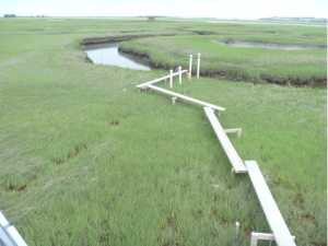
Figure 1: View on low marsh at US-PLM. All vegetation is Spartina alterniflora. The marsh surface and boardwalk flood nearly every high tide and that the creek completely drains at low tide.
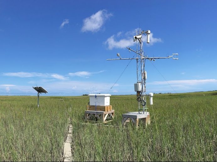
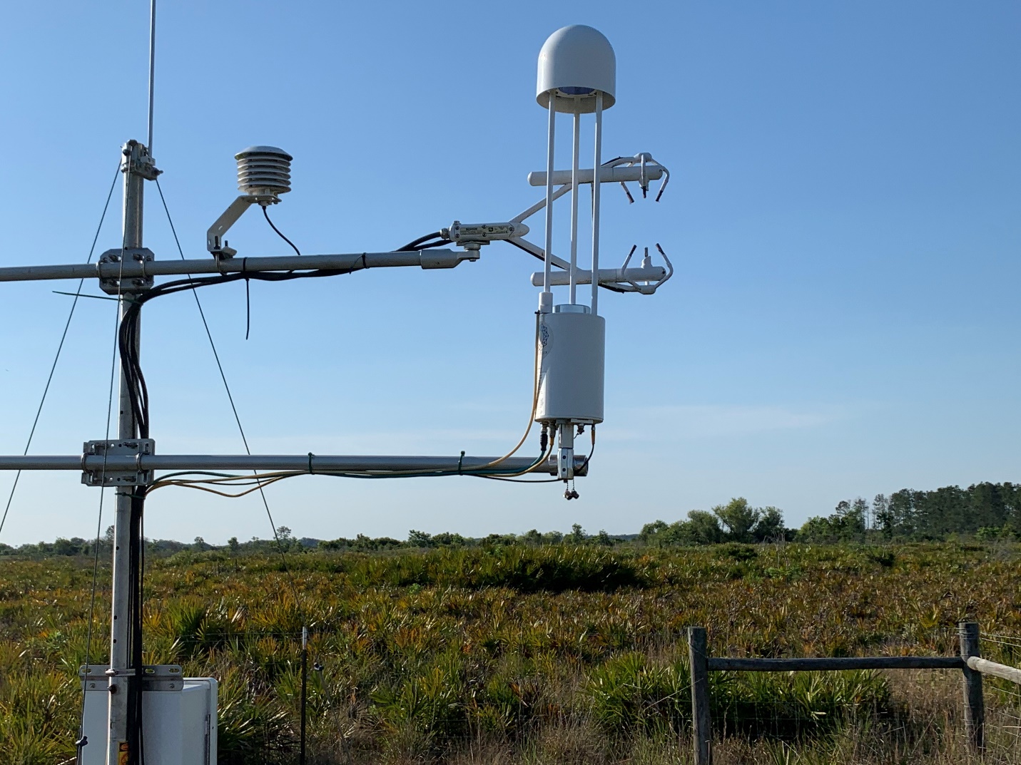
We installed eddy flux towers in two locations that differ in vegetation cover and flooding frequency (US-PHM in the high marsh and US-PLM in the low marsh). With a loaner instrument (LI-7700) provided by the AmeriFlux Management Project for the AmeriFlux Year of Methane, we are now measuring methane fluxes in the low marsh (US-PLM). The high marsh tower operates year-round (except when the solar panels are covered by snow for too long) and is accessible by land, or by boat during high tides when tidal creeks are navigable. The low marsh tower operates seasonally; it must be removed from the marsh during winter to protect it from ice rafts. It is accessible only by boat. At both sites, gas exchange with the atmosphere is suppressed when the grass canopy is fully submerged. However, the taller S. alterniflora plants in the low marsh grow quickly above the flood height and thus limit this effect. Variations in fluxes between years are linked to changes in soil salinity during plant growth before flowering. These changes are related to the timing of rainfall, which at both sites is the only major source of freshwater. In years with above-average rainfall in June, plant growth is stimulated and net CO2 uptake is larger than in years with little rainfall in that period. Nevertheless, in 2016, which was the longest drought period in Massachusetts since the sixties, both sites still acted as carbon sinks, indicating that the regular tidal flooding prevented serious water limitations of plant growth.
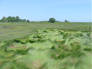
Figure 2: Vegetation at US-PHM; Spartina patens is in the front, but less well drained areas in the marsh interior (in the back) are covered by the shorter Spartina alterniflora.
Regular flooding not only affects the water supply but the biogeochemical processes as well. Sulfur cycling is important and sulfate reduction is the dominant anaerobic respiration pathway far exceeding methanogenesis. There is nearly no substrate limitation, because sulfate (abundant in seawater) is carried to the system on each incoming tide; reduced compounds (sulfides) are flushed out on each ebbing tide. Sulfate reducing bacteria can also oxidize any methane that may be produced. Consequently, net methane emissions from salt marshes are usually very low compared to freshwater wetlands. There are few if any continuous methane measurements in tidal wetlands. We expect that the continuous measurements will allow us to investigate whether there are discontinuous emissions, e.g. after rainfall when porewater is less saline, or whether fluxes, when measured over the entire growing season, are indeed as low as reported earlier from chamber measurements.
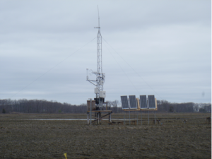
Figure 3: View of US-PLM in April 2019. It is too early for plant growth, but we installed the LI-7700 already.
Inke Forbrich and Jane Tucker (both MBL) authored this post for the AmeriFlux Year of Methane.

