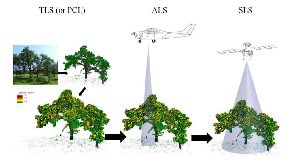
LiDAR multiscale design strategy allows calibration and validation of products derived from airborne and spaceflight LiDAR products
Martin Beland (at Laval University, Canada) just sent us the white paper he co-wrote with Geoffrey Parker, David Harding, Chris Hopkinson, Laura Chasmer, and Alexander Antonarakis. Thanks from the community to the authors! See AmeriFlux Reports.
“Our aim is to inform the AmeriFlux community on existing and upcoming LiDAR technologies (atmospheric Doppler or Raman LiDAR often deployed at flux sites are not considered here), how it is currently used at flux sites, and how we believe it could, in the future, further contribute to the AmeriFlux vision. Heterogeneity in vegetation and ground properties at various spatial scales is omnipresent at flux sites, and 3D mapping of canopy, understory, and ground surface can help move the science forward. Systems discussed include: airborne laser scanning (ALS), terrestrial laser scanning (TLS), and portable canopy LiDAR (PCL).”

No Comments
Be the first to start a conversation