
Phoenix Metropolitan area: A perfect place to understand land-atmospheric energy and CO2 exchange in hot environments
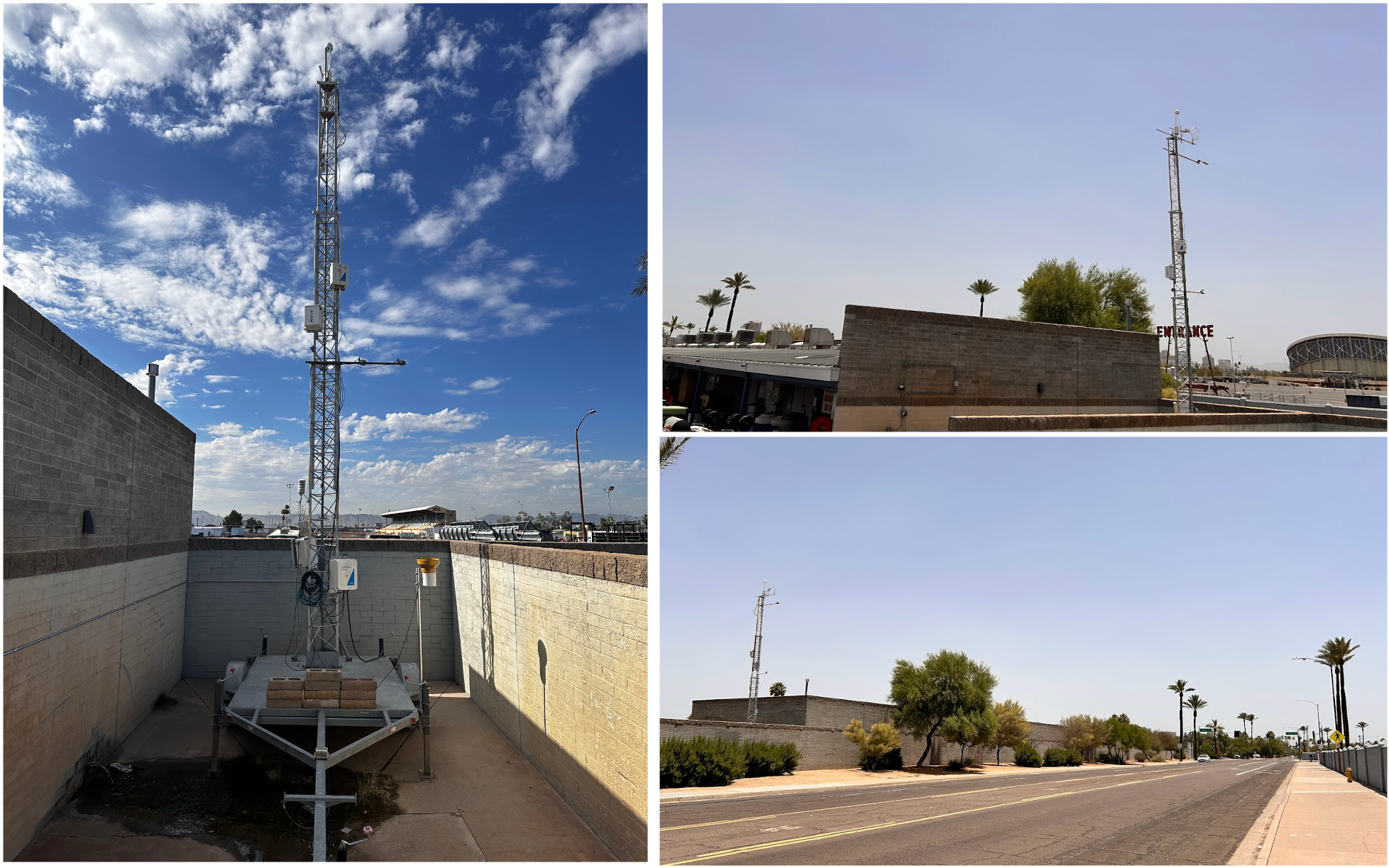
AmeriFlux Site US-Px4; a Rapid Response System located in a vehicle lot in the City of Phoenix, AZ, from June to September 2024. Photo credit: Xiangmin Sun.
Science
Urbanization changes the local environment, affecting water, energy, and carbon balances and their components, such as air temperature and relative humidity (Kalnay, 2003). As the global climate moves to a warmer stage, the persistence and severity of heat risks have implications for public health, with an expected rise in heat-related morbidity and mortality. The metropolitan area of Phoenix, Arizona, has urbanized rapidly in a region that experiences extreme heat for continuous days during the summer months. Its water availability depends on a bimodal precipitation regime that includes the North American Monsoon (NAM), which provides intense storms in the summer and leads to dust storms that cause air quality deficiencies. All of these aspects collocated in this built environment make it a great place to characterize water, energy, and carbon fluxes across different land cover types. This is a first step towards evaluating the effectiveness of new adaptation and mitigation actions in the context of a global warming climate.
Impact
Providing high spatiotemporal resolution information is useful for characterizing urban areas and evaluating models of atmospheric transport and greenhouse gas emissions. Ultimately, this will help strengthen the bridge between scientists and decision-makers to create adaptation and mitigation actions aiming for sustainability and resilience solutions.
Summary
Cities play an important role in mitigating climate change since they contribute ~70% of the anthropogenic greenhouse gas (GHG) emissions to the atmosphere, which are projected to increase as urbanization expands (Hopkins et al., 2016). In hot environments such as the Phoenix metropolitan area, water management is becoming an acute challenge due to recent drought events. An effort from the Southwest Integrated Field Laboratory at Arizona State University is underway to establish an urban eddy covariance flux tower network in different land covers. Through the Rapid Response System (RRS) from AmeriFlux, we expanded the efforts to include a telescoping tower on a trailer which measures water, energy, carbon dioxide and methane fluxes. The RRS has been deployed at a vehicle lot (AmeriFlux, US-Px4) during the summer of 2024 and in a barren lot (AmeriFlux US-Px5) from fall to spring 2024/2025. These measurements have added more land cover types to the urban network to enhance our scientific investigation.
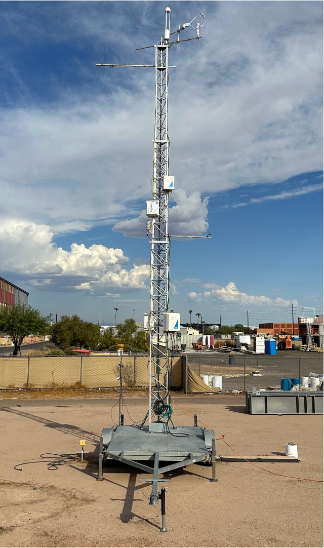
Image 2: The AmeriFlux site US-Px5 is the Rapid Response System moved from US-Px4 to the ASU Polytech Center for Bio-mediated and Bio-inspired Geotechnics (CBBG) Field Lab in Mesa, AZ. It has been operational since October 2024. Photo credit: Khayrun Nahar Mitu
Contact:
Nidia E. Rojas-Robles, Research Assistant Professor, School of Sustainable Engineering and the Built Environment & Center for Hydrologic Innovations, Arizona State University. nrojasro<at>asu<dot>edu
References:
Hopkins, F. M., Ehleringer, J. R., Bush, S. E., Duren, R. M., Miller, C. E., Lai, C. T., … & Randerson, J. T. (2016). Mitigation of methane emissions in cities: How new measurements and partnerships can contribute to emissions reduction strategies. Earth’s Future, 4(9), 408-425.
Kalnay, E. (2003). Atmospheric modeling, data assimilation, and predictability. Cambridge University Press
No Comments
Be the first to start a conversation